
Nazca Lines history and the desert landscape
Nazca Lines history is written across the desert plains of Nasca and Palpa in Peru's Ica region. Long lines, geometric forms and figures share the landscape with archaeological places that reveal other aspects of life in the region. An aerial view makes the scale of the drawings easier to appreciate, while a ground visit provides a different sense of their setting.
The UNESCO description places the broad period of creation around 500 BC to AD 500. That span describes the heritage as a whole, not a precise date for every individual figure. The places and cultures associated with the region extend beyond one date or a single interpretation.
Archaeological visits
A guided Cantalloc visit provides a ground perspective. The flight combination also visits Chauchilla and the aqueducts.
Hand-picked tours, booked through Viator and GetYourGuide. Prices are indicative starting prices in US dollars (as of October 2026). Tap a tour for live availability and the current price in your currency.
Nazca flight and archaeological sites
- Exploration of the Cantalloc Aqueducts
- Exploration of the Chauchilla Cemetery
- Professional local guide
The nine-hour trip includes a 35-minute flight. Airport and site fees are extra.
Check availability →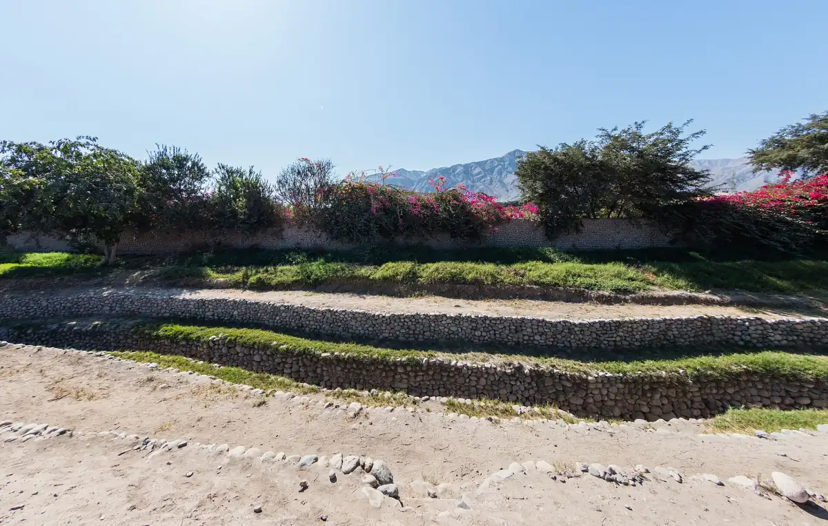
Nazca archaeology with a guide
- Air-conditioned vehicle
- Professional tour guide
Allow five to six hours; confirm site admission costs.
Check availability →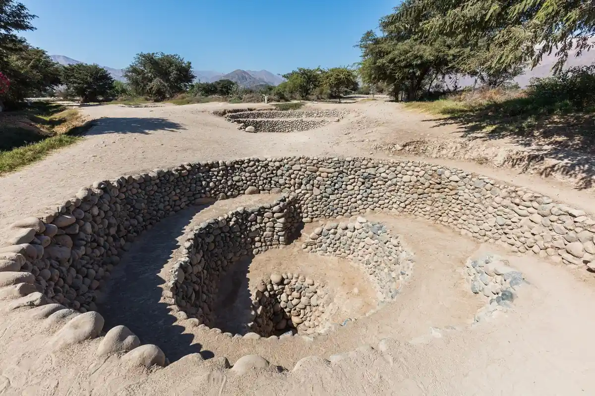
Cantalloc with a guide
- Tourist guide in English and Spanish
- Mobility
Hotel or bus-station pickup and drop-off are included; confirm admission costs.
Check availability →Explore Nazca archaeology
Choose an itinerary that brings together a flight or viewpoint with archaeological places around Nazca.
How the geoglyphs were made
The makers removed dark stones from the surface to expose lighter ground beneath. That contrast forms lines and shapes on the desert floor. Their work includes geometric designs as well as figures of animals and plants. Seen from above, a figure can be read as part of a much larger pattern of lines crossing the landscape.
The technique is straightforward to describe, but the planning and meaning behind each design are harder questions. A visit can begin with the roadside viewpoint and continue with a flight over the lines. These are distinct perspectives, and the view of individual figures depends on conditions.
Art, forms and interpretations
Some explanations connect the markings with ritual or astronomy. An astronomical calendar is one interpretation, rather than a proven single purpose for all the drawings. The variety of lines, geometric shapes and figurative images is a reason to approach broad claims with care. Notice the different scales and forms rather than expecting one explanation to account for every mark.
The heritage also belongs in the historical context of the region's Indigenous cultures. Archaeological evidence offers ways to study past societies, but a visit to a site does not by itself imply a meeting with a present-day community. The physical remains are a starting point for understanding a long and varied history.
María Reiche and UNESCO
María Reiche's research and protection work are closely associated with the lines. UNESCO notes her work from 1941. The lines and geoglyphs of Nasca and Palpa were inscribed on the World Heritage List in 1994. The World Heritage area and the national reserve are distinct areas; the 2025 reduction of the reserve was reversed.
The María Reiche Museum offers another way to consider her life and work. Plan its practical visit separately from the broader story of her research in the desert.
Water engineering and later cultures
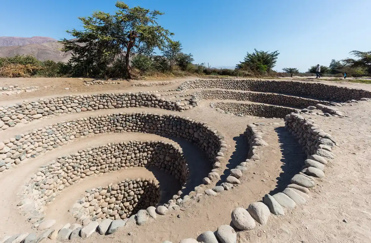
At Cantalloc, underground channels and spiral access openings illustrate a different response to the desert environment. Water is carried through channels using gravity. The stonework gives a ground visitor a tangible contrast with the lines viewed from above.
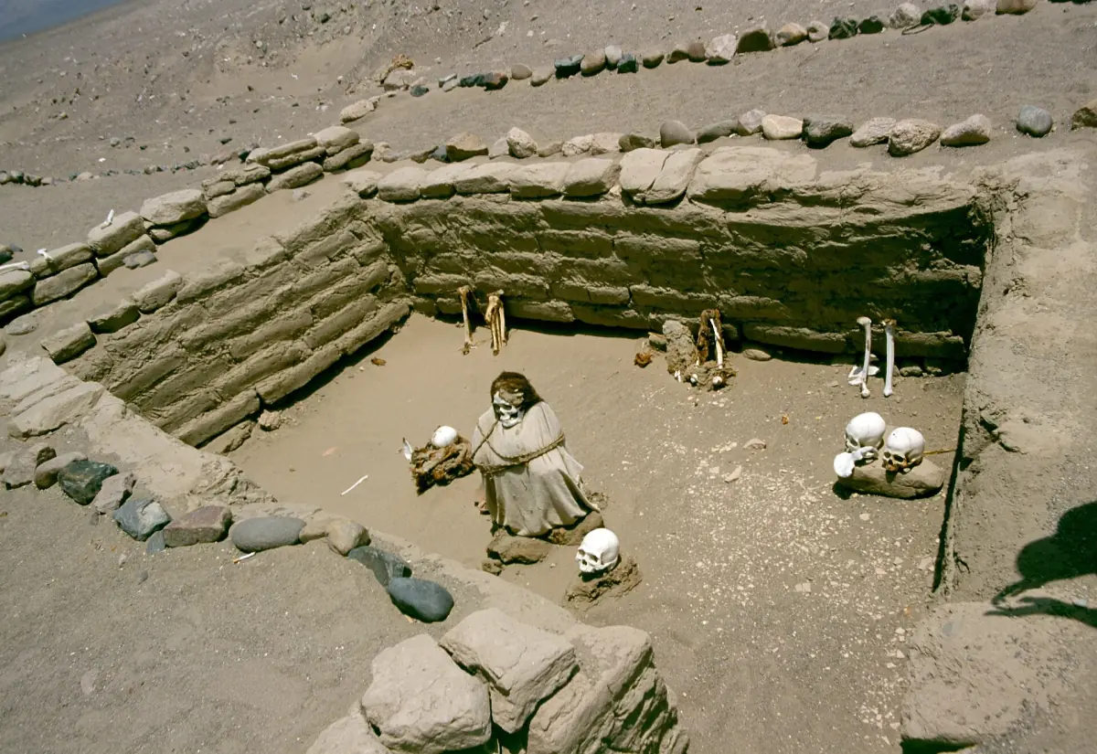
Paredones adds another chapter: it was later adapted as an Inca administrative centre. At Chauchilla cemetery, finds are associated with several phases including Wari, Poroma and Inca. These places should not be collapsed into a single period or assumed to have served the same purpose.
Cahuachi and the archaeology route
Cahuachi is an adobe ceremonial centre in the Nazca area. It gives a cultural route another focus alongside waterworks, burial places and geoglyphs. Consider which stops a particular itinerary actually includes and how much time is available at each one. A long route can connect different kinds of evidence, while a shorter visit leaves more room for one place.
Exploring history in person
Compare a ground itinerary with a flight combination by start point, duration and included entrance fees. A guided route can make the travel between dispersed sites easier to organise. Carry water, sun protection and comfortable closed shoes for time outdoors, and leave room in the day for the journey between stops.
History FAQ
Who made the lines?
They are associated with the ancient cultures of the Nasca and Palpa region over a broad period.
Were the lines an astronomical calendar?
That is one interpretation; a single purpose for all the geoglyphs has not been established.
Can I learn about water engineering nearby?
Yes. Cantalloc provides a look at underground channels and their spiral access openings.